


A property survey serves as the foundation for understanding land ownership. It outlines precise measurements, boundaries, and key features like structures or fences. For buyers and homeowners, this document clarifies legal limits and helps avoid disputes with neighbors.
Every survey includes a legend explaining symbols for elements such as corners, utility lines, or easements. Orientation matters too—the compass rose indicates direction, making it easier to locate landmarks relative to your parcel. Always verify these details match physical markers on-site.
Clients 1st Property Group in Charlotte, NC, recommends reviewing surveys carefully before finalizing real estate decisions. Their team at (704) 622-4865 specializes in translating technical maps into actionable insights. Whether you’re assessing distance between buildings or confirming boundary lines, their expertise ensures clarity.
Key Takeaways
- Surveys define legal land limits and prevent ownership conflicts.
- Legends decode symbols for fences, utilities, and other features.
- Compass orientation helps align map details with physical spaces.
- Physical markers like stakes often mark boundary corners.
- Professional guidance simplifies complex survey analysis.
Introduction to Property Surveys
Understanding land ownership starts with precise documentation. A survey provides this clarity by mapping physical boundaries, structures, and legal rights tied to a parcel. It’s essential for confirming where your property ends and a neighbor’s begins, especially in areas with shared fences or disputed lines.

Importance of Accurate Land Surveys
Errors in land measurements can lead to costly disputes. Surveys identify easements—rights allowing others to use parts of your land for utilities or access. For example, a buried gas line might limit where you plant trees. Local laws often require updated surveys during sales to ensure compliance with zoning rules.
| Feature | Purpose | Example |
|---|---|---|
| Boundaries | Define legal ownership limits | Iron stakes at corners |
| Easements | Highlight third-party access rights | Power company utility lines |
| Structures | Show existing buildings | House, shed locations |
| Measurements | Confirm lot dimensions | Distance between fences |
What Homeowners and Buyers Should Know
Legends on surveys use symbols like dashed lines for underground pipes or shaded areas for flood zones. Surveyors include notes explaining terrain challenges or historical markers. Clients 1st Property Group in Charlotte, NC, simplifies this process—call (704) 622-4865 to review your survey’s details. Their team deciphers technical jargon, ensuring you grasp every easement and boundary line before closing a deal.
Key Components of a Property Survey
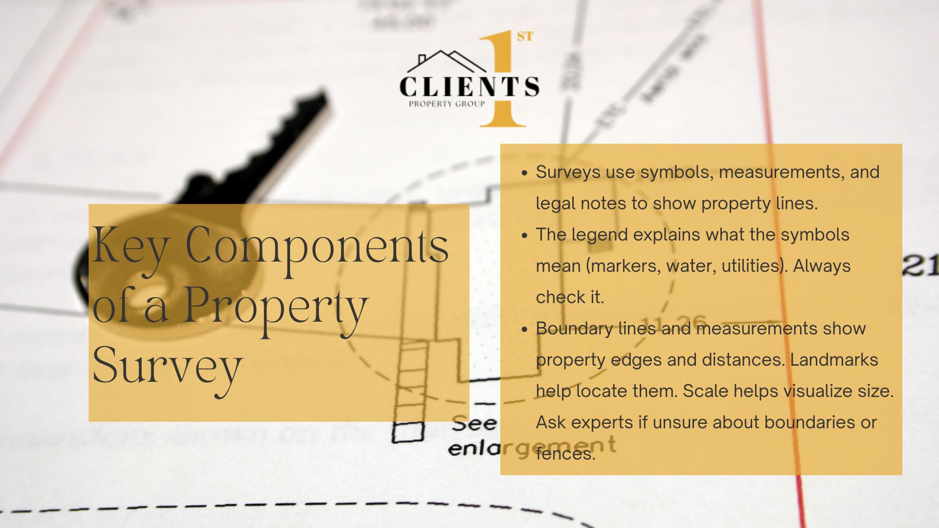 Every land survey acts like a puzzle where symbols and numbers reveal ownership details. Three elements form its core: visual guides, spatial data, and legal annotations. Clients 1st Property Group emphasizes, “A well-prepared survey balances technical precision with accessible formatting.”
Decoding the Survey Legend and Symbols
The legend translates cryptic markings into clear information. Dashed lines might indicate buried cables, while triangles often mark elevation points. For example:
- ⚫ Solid circles: Permanent markers like iron rods
- 🟦 Blue shading: Water drainage paths or flood zones
- ◻️ Squares with crosses: Utility access points
Charlotte surveyors use these standardized icons to show structures, easements, and natural features. Always cross-check symbols with the written report for accuracy.
Understanding Boundary Lines and Measurements
Thick black lines typically outline a lot’s edges, with measurements noting distances between corners. A note like “132.5 ft NW to oak tree” pinpoints physical landmarks. Angles matter too—deviations as small as 1° can shift boundaries by several feet over long distances.
Scales (e.g., 1″=50′) help visualize spatial relationships. For tricky interpretations, Clients 1st Property Group recommends calling (704) 622-4865. Their team clarifies whether a fence sits on your land or overlaps a neighbor’s easement.
How to Read a Property Survey: Step-by-Step Guide
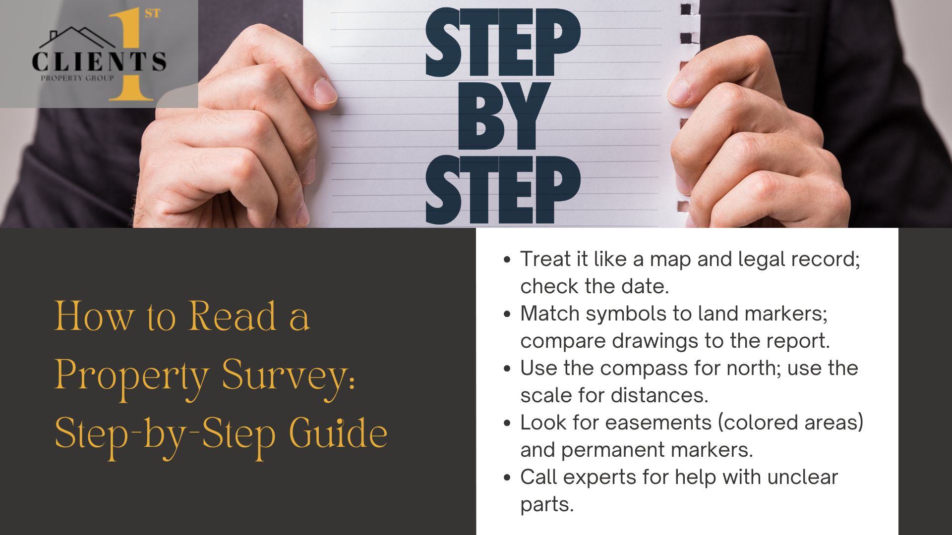
Interpreting land documents requires methodical analysis. Start by treating the survey as both a visual map and binding legal record. Verify its date matches recent transactions, as outdated versions may miss changes like new easements or shifted boundary markers.
Preparing and Reviewing the Survey Document
Gather related paperwork—deeds, title reports, and prior surveys. Cross-reference the legend with physical markers like iron rods or concrete posts. Look for discrepancies between drawn lines and written descriptions in the report.
| Step | Action | Example |
|---|---|---|
| 1 | Check document date | 2023 survey vs. 2015 version |
| 2 | Match symbols to landmarks | Blue dashed line = storm drain |
| 3 | Confirm scale accuracy | 1 inch equals 40 feet |
Using the Scale and Compass for Accurate Analysis
Align the survey’s compass rose with a smartphone app to confirm north orientation. Use the graphic scale to calculate real-world distances. For instance, 2 inches on paper might equal 80 feet between a shed and corner post.
Identifying Critical Details: Easements, Monuments, and More
Scan for colored zones indicating utility access or drainage rights. Permanent monuments—like chiseled stones—often define lot angles. Circle unclear symbols and consult Charlotte’s Clients 1st Property Group at (704) 622-4865. Their team resolves ambiguities in measurements or shared land usage terms efficiently.
Expert Insights from Clients 1st Property Group

Charlotte’s real estate landscape presents unique challenges, from shifting zoning laws to historical boundary markers. Clients 1st Property Group leverages decades of local experience to decode intricate survey details, ensuring clients grasp every aspect of their land documentation.
Local Expertise in Charlotte, NC Real Estate
Understanding neighborhood-specific patterns—like flood-prone areas or disputed easements—requires deep regional knowledge. “Charlotte’s rapid growth means boundary lines often intersect with older agreements,” notes a Clients 1st specialist. Their team cross-references surveys with municipal records to clarify ambiguous angles or shared utility access points.
Contacting Our Professionals for Detailed Guidance
Technical jargon in survey reports can obscure critical details. Clients 1st simplifies this by:
- Translating legends into plain language
- Highlighting easements affecting landscaping or construction
- Validating measurements against physical markers
For unresolved questions about lot dimensions or legal descriptions, call (704) 622-4865. Their Charlotte-based experts provide tailored explanations, ensuring you confidently navigate transactions. “Always verify before finalizing,” they advise—a missed easement or miscalculated angle could impact property value.
Understanding the Importance of Property Surveys: Conclusion

Navigating land ownership details requires clarity and precision. Surveys provide this by outlining boundary lines, easements, and structural placements. From decoding symbols to verifying measurements, each element plays a role in clarifying land rights.
Following the steps outlined—reviewing legends, confirming scales, and checking markers—helps avoid disputes. Accurate analysis ensures compliance with zoning rules and protects your investment. Even minor errors in a report can lead to costly legal challenges.
Clients 1st Property Group simplifies complex surveys for Charlotte residents. Their team translates technical jargon into actionable information, whether you’re assessing easements or validating lot corners. This expertise saves time and reduces stress during transactions.
For confident real estate decisions, call (704) 622-4865. First-time buyers and seasoned investors alike benefit from their local knowledge. A thorough grasp of your property survey remains key to securing your asset’s value.